
Chiricahua Mountains as approached from the east.
Post by Eric
Am I getting old and wise or just lucky?
I’ve done some stupid things in the past on my mini-adventures. I’ve got a reputation for finding swamps, underestimating times certain adventures will take, and not recognizing soon enough when it’s time to turn back (like when I led Corrine on a dead-end bike ride into a swamp).
All my bad decisions led to great stories afterward (like an infamous swamp-infested Tuesday Night MTB Ride), but at some point you would think I would learn from my mistakes. And maybe I have.
On a recent trip to Arizona, I calculated the odds, took some chances, and still had some fine mini-adventures without any disasters, mini or otherwise.
 |
| View from Silver Peak. Chiricahua Peak is highest peak over there. |
Two Summits in Portal
After our family trip to Texas for the solar eclipse and Big Bend National Park, Corrine headed home, and I headed to Arizona to visit my mom, who lives in Sierra Vista. I love the “sky island” mountain ranges in the area and decided to explore the Chiricahuas before heading to my mom’s place. So, I first went to Portal, Arizona.
Portal is a popular birding area with a lot of interesting trails. Using Trail Forks, I picked out two strenuous hikes that seemed appealing: Silver Peak and Chiricahua Peak. The hike up Silver Peak was shorter and closer to Portal, so I pegged that for the first day, since I had a several-hour drive from El Paso, Texas, in the morning.
I needed to hike Silver Peak and get back to Portal by 6 p.m. to check into the Portal Café, Country Store and Lodge and get something to eat. I got to the trailhead a little before noon. Since I didn’t know what shape the trail was in or how long it would take me, I gave myself 2.5 hours to summit and hustled as soon as I started. The question begged: Would summit fever overtake good sense if I didn’t make the summit by my time cutoff? I really didn’t want to sleep in my rental car.
 |
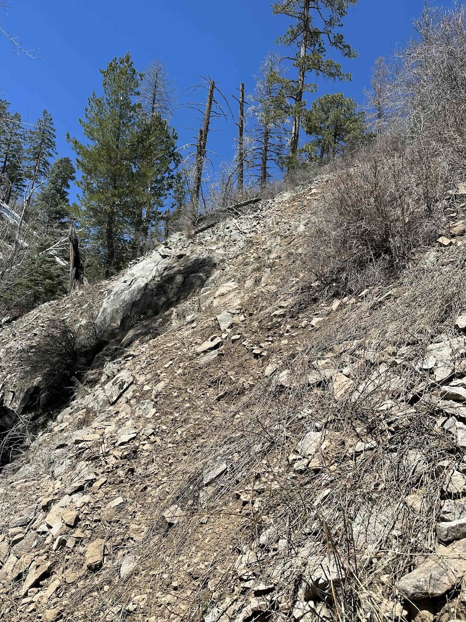
| Lower part of Silver Peak Trail. |
I ran when I could, but the trail was usually steep so mostly I fast-hiked. I made good time since the trail was in good shape and covered the elevation with lots of switchbacks. The trail eventually got into tall pines and, after five miles, topped out in a series of cement steps to the foundation of an old lookout hut. It took me less than two hours, so I didn’t have to struggle between summit and good sense. I’m glad I made it. The views from there were gorgeous, with almost 360-degree views. I could see Chiricahua Peak, my destination for the next day.
 |
| Stairs to Silver Peak summit. |
 |
| Lookout foundation on Silver Peak with other Chiricahua Mountains in background. |
I ran down and made it back to the lodge before 4 p.m., plenty of time to check in, shower, relax, and have some dinner. The business is a hidden gem. The restaurant food was delicious and reasonably priced, the grocery store is well-stocked, and the rooms are old but well-kept. And only $99 per night.
The next morning, I drove to the Herb Martyr Trailhead, about a half-hour drive from Portal. I had figured out an ambitious loop that would take me to Chiricahua Peak, tallest of the Chiricahua Mountains. Had I left early enough to do the loop and make it back before the Portal Café closed at 6pm?
I headed up a rocky two-track -- where I saw my first and only deer of the hike -- that soon turned into a singletrack trail, which climbed through the pine forests.
Up higher, I lost the trail in a ravine, where the trail paralleled a babbling creek. I think the trail crossed to the other bank of the creek, but that side was still covered in snow. It looked like maybe people had scrambled up the steep, snow-free side. It looked kind of sketchy, but I pushed forward and up. I soon doubted if that was the best decision, but summitting Chiricahua and finishing the loop beckoned, so I pressed on. Early on I looked down. Damn, that slope was steep! With rocks at the bottom. I picked my steps carefully.
 |
| The trail went this way...somewhere. |
 |
| So I went up here. |
The bushwhacking got a little better, but what followed was a scramble across a steep ravine slope covered in loose rock and thorny brambles. I almost lost my footing a couple of times and banged up my leg a bit. Yeah, I don’t think others had gone that way, but I didn’t want to turn back. And I really didn’t want to downclimb that initial steep slope.
 |
| Fun stuff to scramble through! |
I pushed on, occasionally finding short deer trails to follow, but mostly picking my way across the slope, peering down the ravine to see if the trail reappeared. Eventually it did and I slowly picked my way down. That detour was probably only a quarter mile, but it took me 30 to 40 minutes. Still, I made it and avoided any disasters. Well, at least in that part of the hike.
Near the ridgetop, I really started hearing the wind. It had been steadily building, but now it really whooshed through the treetops. Fortunately, it stayed reasonable on the ground. But it was chilly, so I donned my windbreaker.
I intersected the Crest Trail, which wound along a sidehill toward Chiricahua Peak, but I could see it was covered in snow. I figured I would have to turn around, since I’m used to punchy post-holing Fairbanks snow, but this snow was much more compacted and there were footprints to follow.
 |
| Crest Trail |
However, compacted snow on a sidehill can be dangerous. And I didn’t have micro-spikes. In an exposed area, one slip can send you sliding out of control. I kept expecting to run into some sketchy part. Would I have the smarts to turn back with the summit so close? But I never got to a sketchy point like that, and I made it to the base of Chiricahua Peak.
 |
| Some dry Crest Trail before Chiricahua Peak (background). |
But the challenges weren’t over. The short side trail to the top of the peak was less traveled and covered in snow. It started on a sidehill. Again, I kept waiting for a sketchy part to challenge my good sense, even more challenging with each step closer to the summit. But again, I never felt in danger, so I pressed on.
But much of the snow-covered trail had no footprints and the snow was inconsistent. Each step might be solid, or my foot might sink. I couldn’t really predict what was going to happen. The inconsistent snow made for slow going and I worried that my snail’s pace would mean I wouldn’t make it back to the café in time for dinner. I could turn back to the more predictable Crest Trail, but I was so close! Less than a half-mile from the peak! I pressed on.
 |
| More snow on way to Chiricahua Peak. |
Eventually, I made the top, which was a bit anticlimactic. Covered in forest, it has no grand vistas, just some nice views peeking through the trees. Still, I was happy I had made it. But I didn’t linger. I had to make up time for all the slow going earlier, and I had never been on the trails on my planned loop. Would they be smooth sailing, or would I run into more challenges?
 |
| Atop Chiricahua. |
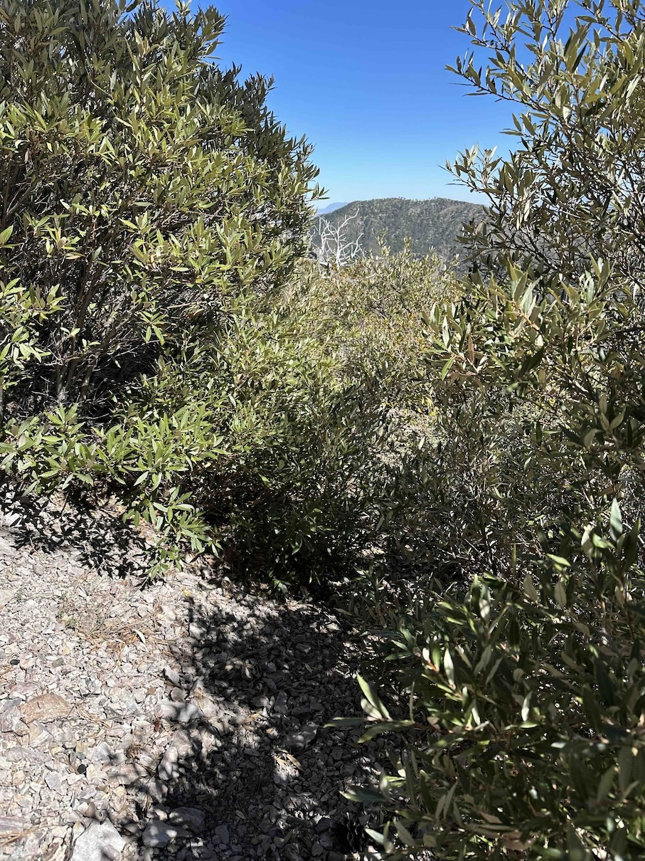
More challenges, of course. These Forest Service trails were in rougher shape than others in the area. Trail intersections usually lacked signs and the tread was often more of a narrow goat trail, choked in many places with thorny brambles. I wanted to run but ended up mostly fast-hiking until I got onto better trails lower down.
 |
| This is a trail intersection. Except for lacking a sign, isn't it obvious? |
 |
| Yep, the trail goes through there. |
Despite all those obstacles, I managed to get back with plenty of time for dinner. The hike had taken almost 7.5 hours, so leaving early had been a good choice. Was that a sign of wisdom?
I saw little wildlife besides birds on the trail, but on the drive back a coati ran across the road in front of me! I had never seen one before, so I was excited. It even stopped and looked me over, so I was able to check it out for a bit.
 |
| Coati! |
Sierra Vista Scrambling
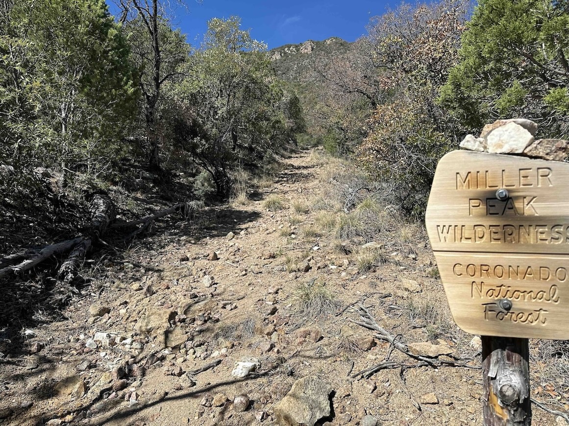
After Portal, I headed over to Sierra Vista to visit my mom. I’ve been to SV several times, so I’ve done the most interesting trails in the Huachuca Mountains (another sky island) a few times. There was some snow on the peaks, so I first did the south-facing Arizona Crest Trail to Miller Peak, figuring it would be mostly clear of snow.
I ran/hiked the trail, making it the five miles to the peak in about two hours. On the way I ran into only two other hikers (backpackers), but I saw a bit of junk, most likely dumped border crossers. This trail connects to another that goes all the way to the border, but it would be a tough way to sneak into Arizona.
 |
| View on the way up to Miller Peak. The Arizona-Mexico border is down there. |
 |
| Junk along the trail. On the way down, I bagged up some of this and carried it back. |
 |
| Carr Peak (to the right) from Miller Peak. |
I had been partway up Pomona once before, but I had never been to the mine. I wasn’t too excited about the hike/run, but it surprised me, though not for the usual reasons.
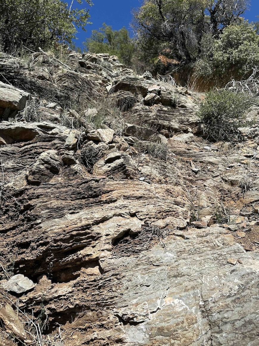
The mine trail is rocky, steep, and dry. And I had a drop-dead turnaround time of two hours. Despite the tough trail, I made good time and got to the mine shaft in less than two hours.
 |
| Typical section of Pomona Mine Trail. |
 |
| Mine shaft |
But the shaft is a bit below the ridge, and it looked like others had scrambled up. And while a ridge top is not exactly a summit, it kinda is, so I scrambled up where others had gone. Some of it was pretty sketchy – loose rock and rock wall climbing. Once again, I was moving at a snail’s pace. Would I have time to get to the summit, er, ridgetop, and get back for the appointment? More concerning: would I make it safely back down? But too late! I was already climbing!
 |
| This should be easy to come down, right? |
After a bit, I found another trail, steep but hike-able, that led to an upper mine shaft. Interesting, but still not the top of the ridge. And others had obviously scrambled higher. I checked my watch. Despite the slow scramble, I was still under two hours, so I climbed upward. Fortunately, this scrambling wasn’t nearly as sketchy.
 |
| Finally! A good trail! |
I made the ridgetop with about 10 minutes to spare! It wasn’t spectacular up there, but on the flat ridgetop I found some old debris, including some perforated steel planking (Marston mats) that looked like they formed a helicopter pad. That was kind of a fun find.
 |
| A helicopter pad? |
 |
| View of Sierra Vista from along the Pomona Mine Trail. |
Others had obviously bushwhacked to high points on either side of the flat spot. Should I follow? I really wanted to explore more. But I resisted. I knew if I pressed forward, I’d be tempted to push past my time cut-off. And I had that sketchy downclimb ahead of me. I took one last glance at the higher points and made the wise decision to start down.
Heading down was quite a bit easier. The steep trail I had found that led to the upper mine shaft descended all the way to the main trail that led to the lower mine shaft. No need for a dangerous down-scramble. The trail was steep in places, but not nearly as sketchy as the downclimb. I had earlier seen where that trail intersected the main trail, but it has no signs, so I didn’t realize what it was.
 |
| Where the upper mine trail splits from the lower mine trail. Obvious, right? |
Since my descent was quicker than I had anticipated, I decided to explore a singletrack trail that diverged off the Pomona Mine Trail lower down. I guessed that it hooked back to the main trail that ran through Brown Canyon, so I took a chance and followed it. It kept heading away from the main trail. Was this a mistake? I was thinking about turning around when the trail ended at a barbed wire fence and gate signed as military land with big “No Trespassing” words. Now what? Heading back seemed the smart decision.
 |
| Not going there! |
But I still had some time, and I saw a faint track and some flagging. It looked like someone was planning a singletrack trail. I figured it would probably connect with the main trail. Probably. I headed down it.
 |
| Obvious trail, right? |
Unfortunately, the flagging was sparse, and I soon lost the faint track. Now what? I could backtrack, or I could bushwhack down to the main trail. Bushwhacking seemed a bit risky to do in an area I hardly knew, but the understory was sparse and how lost could I get in a canyon? And I was pretty sure the main trail wasn’t far away. Those seem like famous last words, but this time it all worked out. I found the main trail.
As I ran back to the car, I saw several other singletrack trails taking off from the main trail. I wanted to head off on them, but good sense overrode my impulse to explore. And I made it back for the appointment.
 |
| So tempted to explore that trail off to the left. |
Am I Learning or Lucky?
So, while I had some fun mini-adventures in Arizona, I didn’t have any epic tales as the result of bad decisions on my part. I took some chances with some off-trail scrambling and pushing time limits, but I also leavened them with good sense.
Am I getting wiser? Did I get lucky? Maybe a bit of both.
 |
| Sierra Vista and the Huachuca Mountains from Foothills Loop Trail in Kartchner Caverns State Park, which I ran on my drive to Tucson. |
 |
| Silver Peak Strava map |
 |
| Chiricahua Peak loop from Strava |
 |
| Miller Peak hike Strava map |
 |
| Pomona Mine Trail and more - Strava |
 |
| Foothills Loop Trail - Strava |
No comments:
Post a Comment