Post by Corrine
I’m supposed to be on a once-in-a-lifetime trip, floating through the warm and wondrous Grand Canyon. Instead, I’m crouched over my bike in the cold Talkeetna wind trying to get a stupid tubeless tire to seal so I can finish my ride and get back to our warm cabin. Sometimes life doesn’t turn out the way you want it.
Replacing the Grand Canyon with…What?
This past week wasn’t quite what Eric and I had originally planned. We were supposed to be on a three-week float of the Colorado River through the Grand Canyon, but due to exploding COVID cases in Alaska and elsewhere we decided to push that trip back a year. Still, I kept one week of vacation time to do something. But what? Go backpacking near Denali? Bike all the roads out of Nome? Explore Homer?
 |
| Crossing the railroad tracks 5 miles in on the Chase Trail in Talkeetna |

So, as usual, I obsessively checked the weather forecasts all over the state. The best weather seemed to be midweek, south of the Alaska Range along the Parks Highway. Not great weather, but better than anywhere else. Eric got out our Alaska Gazetteer and we started plotting possibilities. Getting up in the mountains wasn't an option with all of the snow that had already fallen up high. We decided to drive to Talkeetna, go exploring, then play it by ear. I rented a cabin at Denali Fireside Cabins for two nights. Even if we got cold and wet during the day, we would have a warm and dry place to stay at night. We could check out some trails that we had never been on before, and the fall colors would probably be prime south of the Alaska Range.
 |
| Leaving our cabin in Talkeetna. |
On our way through Denali and Broad Pass, it was windy and snowing and the roads were slushy. Hmm, not great. As we got further south the precipitation stopped and the temperature warmed. But the wind picked up. After dinner, I took a walk while Eric nursed a sore knee he had tweaked a couple of days before. The wind got stronger. By the time I got back to the cabin, our power was out. It remained out until about 4 AM. Luckily, our cabin stayed plenty warm.

Exploring Talkeetna Trails
The next morning was cold and windy but dry, so we decided to check out the trails at Talkeetna Lakes Park, a Mat-Su Borough park. This system comprises about 10 miles of trails around several lakes that are great for hiking and biking in summer and cross-country skiing in winter. They are just a couple of miles out of town, so we biked to them. The trails were in great shape and super fun for biking except for all the beetle-kill spruce trees that had come down in the windstorm. We had to stop and go over or under trees about every half mile. It was slower going than we expected but we adjusted. We were able to shove some trees off the trail, and Eric was able to cut through others with his handy folding saw.


But with a little persistence we were able to do all the trails. One trail is singletrack, while the others are wide enough for skate skiing. The singletrack trail is winding and fun, with a few swoopy downhills. The others were fun just to cruise along. We got lots of lake views, though with the wind it was chilly on the lakeshores.
 |
| X Lake |
When we finished the trails, I wanted to take an alternate route back to town, but Eric decided just to head back to the cabin to rest his knee, which was still bothering him. I had great fun on some lesser used roads, but when I got back to our place 45 minutes later, Eric was nowhere to be found. He had gotten distracted by some other trails and took longer than me to get back! I was a little miffed, as I was hungry and couldn’t get into our cabin or car for food, but he was back a few minutes later, and I quickly forgave him over lunch.
 |
| Biking backroads back to Talkeetna |
We checked the weather again and the next day looked to be cold but sunny and no winds between the Alaska Range and Anchorage, so we decided to head down and bike the Eklutna Lakeside Trail.
But first I wanted to explore the Chase Trail north of Talkeetna. Eric escorted me to the railroad bridge over the Talkeetna River on the edge of town. I kept going while Eric headed back to rest his knee. (Though he got distracted again and did more biking than he planned!)
 |
| ATVs barely fit on the railroad bridge side access for the Chase Trail. Bikes fit fine! |
The Chase Trail is a mostly flat ATV trail that follows the railroad track for about 5 miles before climbing up and meandering through the woods for another 9 miles or so. The trail started to get muddy and wet, so I turned around after about 7 miles.

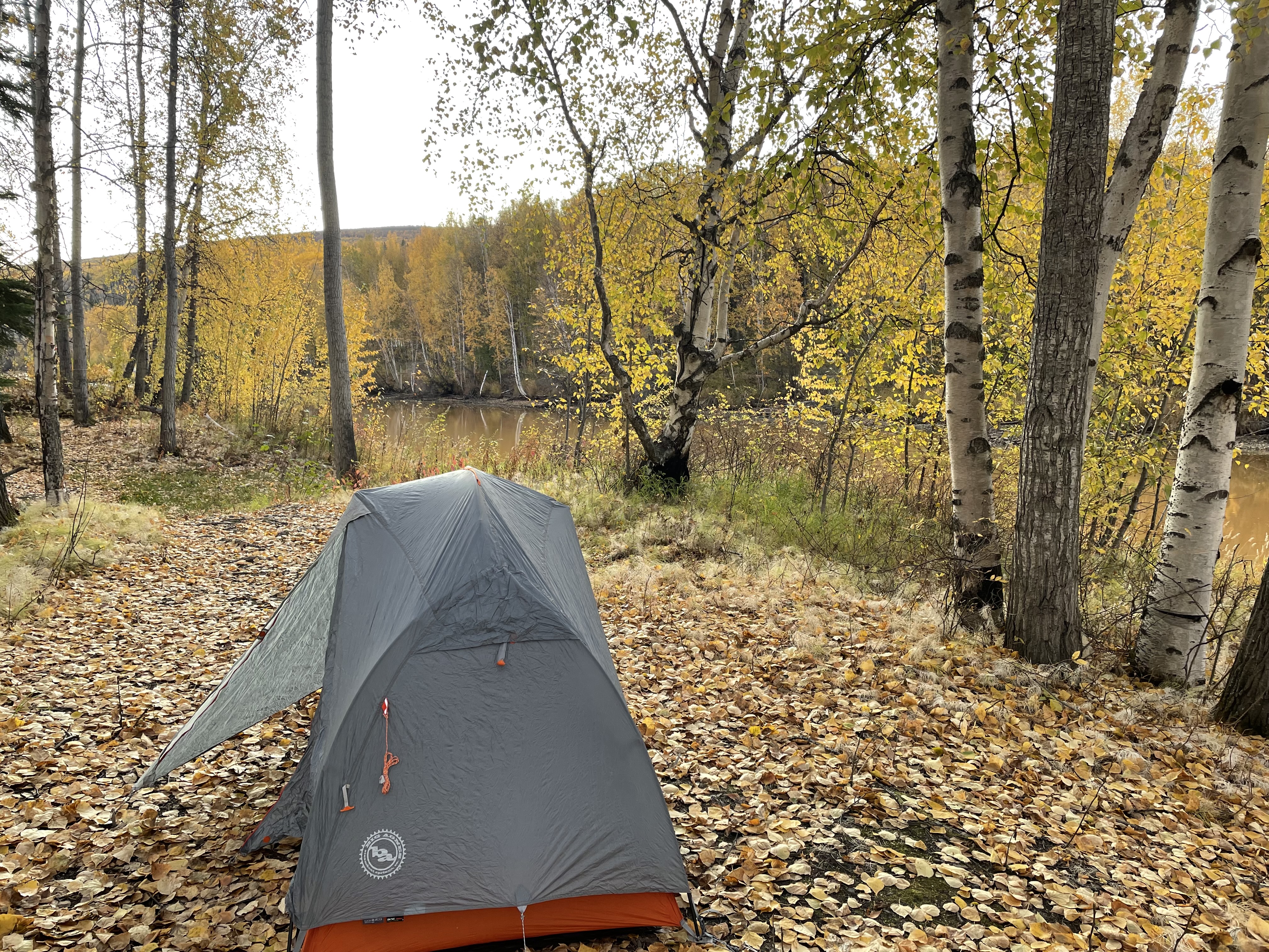
I was about 2 miles from Talkeetna when I got my flat. I pulled out a fairly good-sized nail, but my tubeless tire didn’t want to seal. I tried to put in a plug (which worked for me on the Trans South Dakota), but I couldn’t insert it. I called Eric to come help. He agreed but said I should start walking back if I was that close to town. I agreed, though I did grumble a bit.
As I walked my bike I occasionally stopped and tried to pump up the tire. I finally got the hole to seal, but the tire kept losing air. Eric finally showed up and noticed the tire was leaking around the base of the valve stem. We were able to pump the tire up enough for me to gingerly bike back to Talkeetna, where Eric had parked our car at the Chase Trailhead.
 |
| Downtown Talkeetna |
Back at our cabin, Eric took the tire apart and found the valve stem was shot. Fortunately, he keeps a spare in his repair kit. My tire was good to go in no time. I was frustrated that I hadn’t been able to fix the problem myself but happy that Eric had the parts and know-how, especially since the only bike shop in Talkeetna wasn’t open until the weekend.
 |
| Looking north before leaving Talkeetna - cold but clear views of Denali and the Alaska Range |
Eklutna Lakeside Trail
The next day we headed to Eklutna. Neither of us had ever biked the Eklutna Lakeside Trail, a State Parks trail. In fact, Eric had grown up in Anchorage and had never even been to Eklutna Lake! It was time to change that.

The Eklutna Lakeside Trail follows an old roadbed. It follows the lakeshore for about 8 miles before going farther up a mountain valley another 5 miles or so. At about 13 miles in, there’s a side trail to Serenity Falls. The trail is accessible by ATV, hiking or biking in the summer and snowmachine or skiing in the winter. There are two public use cabins and three campgrounds along the trail. We had thought about renting the Serenity Falls Cabin for a night, but the forecast was calling for snow starting on Thursday and getting worse on Friday. We decided to do the whole trail in a day and then head home on Thursday before the roads got bad.

This trail was fun to bike with lots of spectacular lake-and-mountain views, especially since a bit of snow had fallen. The white snow really set off the fall colors. An old roadbed runs along the entire lake and is open for ATV use, but there are lots of singletrack trail options for non-motorized use that split off from and then re-enter the ATV trail. Those side trails hug closer to the lakeshore with views that keep begging you to stop. Sometimes the trail is too close to the lakeshore! Some trail sections are starting to erode onto the beach, but they are short, and we could walk our bikes around even the worst spots.
 |

 |
| Motorized to the left, non-motorized to the right. |
At the far end of the lake, there is just the old roadbed that is open to all uses. It follows the Eklutna River up the valley toward the Eklutna Glacier. The roadbed/trail is in really good shape except for lots and lots and lots of puddles. I was nervous about biking through them and walked around the first few. But there were so many. I started following Eric, who wasn’t having any problems. The puddles weren’t very deep, but you couldn’t see the bottoms and some were a bit rocky. (By the end I was biking through them all. Well, except one where I stopped and put a foot down. But I was wearing my waterproof socks, so my foot stayed warm and dry.)

There was ice on the edges of the puddles and we ran into more snow the further up the valley we went. The autumn colors were at their spectacular peak. Between the greens and yellows of the trees, the snow-capped mountains and the reflections in the lake, it was a visual feast for the eyes. It took us forever to go the 13 miles because we had to keep stopping to take photos. We stopped to check out the Serenity Falls Cabin as nobody was there. The cabin sleeps 12 and has a wall of windows that gives you a glorious view of the valley. The wood stove was still warm, so we ate lunch before heading to the falls. This would be a great place to rent!


We were underwhelmed by the falls (which you can see from the cabin), but the side trail is short, so we didn’t invest a lot of energy getting to them. And they made for a good turnaround point. The roadbed goes on for another quarter mile or so, then you can follow a footpath toward the Eklutna Glacier. But we were ready to turn around. With that and the East Fork trail, we could easily spend more time back here. We did see a few other bikers and several 4-wheelers, but the area never felt crowded. It was an incredible time to do this bike ride, so that worked out well!
 |
| Serenity Falls |
 |
| East Fork Eklutna River |
Curry Ridge Trail
We spent the night at the Lake Lucille Lodge in Wasilla and headed north the next day. The forecast called for several inches of snow near Denali that evening. We didn’t want to get caught in that. But we knew we had time for a hike to break up the drive.
As we drove by the K’esugi Ken Campground, we decided to hike the new-ish Curry Ridge Trail (both are part of the Alaska State Parks system). A cold wind cut across the parking lot as we switched into hiking clothes, but it wasn’t snowing yet. The trail took us up to a ridge with phenomenal views of the Alaska Range and Denali. It was fairly cloudy but we had views the whole time and the bigger mountains did come out for a few minutes during our hike. The trail is wide with a very modest grade, so easy hiking. We met a State Parks trail crew that was out clearing brush and moving downed trees. We thanked them for making the trail even nicer.

 |
| The Alaska Range peeks out below the clouds. |
On top of the ridge the trail makes a loop, taking in a high point and following a lake for a ways. We didn’t linger on top, as the cold wind was even stronger up there, but we had a great time soaking in the views.

We headed back down, running into the trail crew again and seeing a few other hikers. We ended up hiking 7 miles, a nice break from the road. We then finished our drive home, arriving several hours before it started snowing.
 |
| Trail crew clearing brush. |
Making Lemonade
Even though our vacation didn’t work out as planned, we had a phenomenal few days away from home. We couldn't change the weather but we could change our mindset to fit what Mother Nature threw at us. We didn’t do anything epic, but we got to explore new trails and see some incredible Alaska scenic landscapes. We are really thankful for all the local and state parks in our state. Sure, we are missing the Grand Canyon, but it will still be waiting for us next fall!

 |
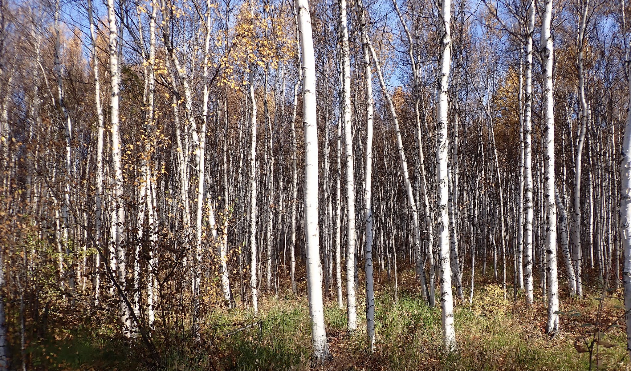
| Biking around Talkeetna |
 |
| Eklutna Lakeside Trail |
 |
| Curry Ridge Trail |