Sunday, June 27, 2021

Sluice Box - Slightly Crazy?


 Post by Corrine
The email alert that lets you know there is a new post is going away in July.  If you already subscribe to our blog, please sign up again in the upper right on the new widget put in place today to keep getting those alerts.  Anybody else who wants an email alert for a new post should subscribe, too.

Not even two miles into my planned 125-mile bike ride and my legs felt dead. Not a good sign.

Especially because I was trying to replicate a version of the Sluice Box 100, a slightly crazy 100-mile race for bikers and runners held a few times in Fairbanks 7-10 years ago. So, despite my tired legs I continued because I guess I’m slightly crazy. 

The Sluice Box 100 was a great mostly-trail race with lots of hike-a bike, gnarly trails, swamps, and tons of mosquitoes. One of goals of the race organizers was to climb all the major peaks near Fairbanks – Ester Dome, Murphy Dome, and Pedro Dome. Unfortunately, the race was discontinued, in large part because every year the race directors had to get permissions and permits from more than 20 landowners, a difficult and onerous process.  

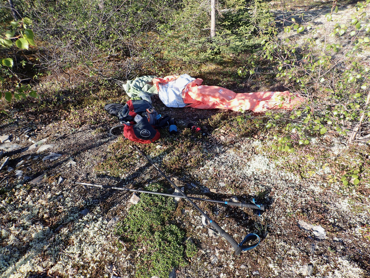
One of the "fun" sections of the former Sluice Box 100

But some people – slightly crazy people – have fond memories of the race. So, over the years racers have thought about recreating the race, but with less complications. Recently, Tyson Flaharty and Kyle Erbeck devised a 125-mile course that includes the main high points around Fairbanks: Ester Dome, Murphy Dome, Moose Mountain, Pedro Dome, and Skyline Ridge. They also wanted to make it more gravel-specific for biking, so they cut out some of the more gnarly trails and swamp on the original course. (Actually, there were multiple courses, as the race route changed each year due to landowner complications.) 


But what good is a racecourse if no one tests it out? So, a couple of weeks ago, Tyson and Eric DiFolco rode it. I saw Tyson’s post on Strava and immediately wanted to do it. Remember? I’m slightly crazy. (I completed one of the Sluice Box 100 races, too.)


Tyson and Eric are two of the best riders in town and they completed the course in about 12 hours.  That meant it would probably take me close to 18.  Did I want to spend all day on the bike? 


Sure! I am training for the Trans South Dakota, a 714-mile bikepacking race held in July.  And it is summer, so there’s endless daylight. And if I did the ride on Friday, I could still hear Eric play at the Summer Folk Festival on Saturday. It was all working out. 

I downloaded the GPX track to my eTrex GPS device and got my gear ready. I had sent out a query in case any other crazies who had Friday off wanted to join me. Patrik Sartz, a local endurance athlete, said he wanted to ride it. Normally, Patrik is way faster than me, but he let his fitness slide after he and his wife had two kids, with another on the way. Patrik is getting back in shape, so he thought this would be a good effort.


I was a little worried. I rode really hard at the WOW ride (Women on Wheels) on Wednesday. I hoped one day of rest would be enough. (Slightly crazy people have slightly crazy logic.)

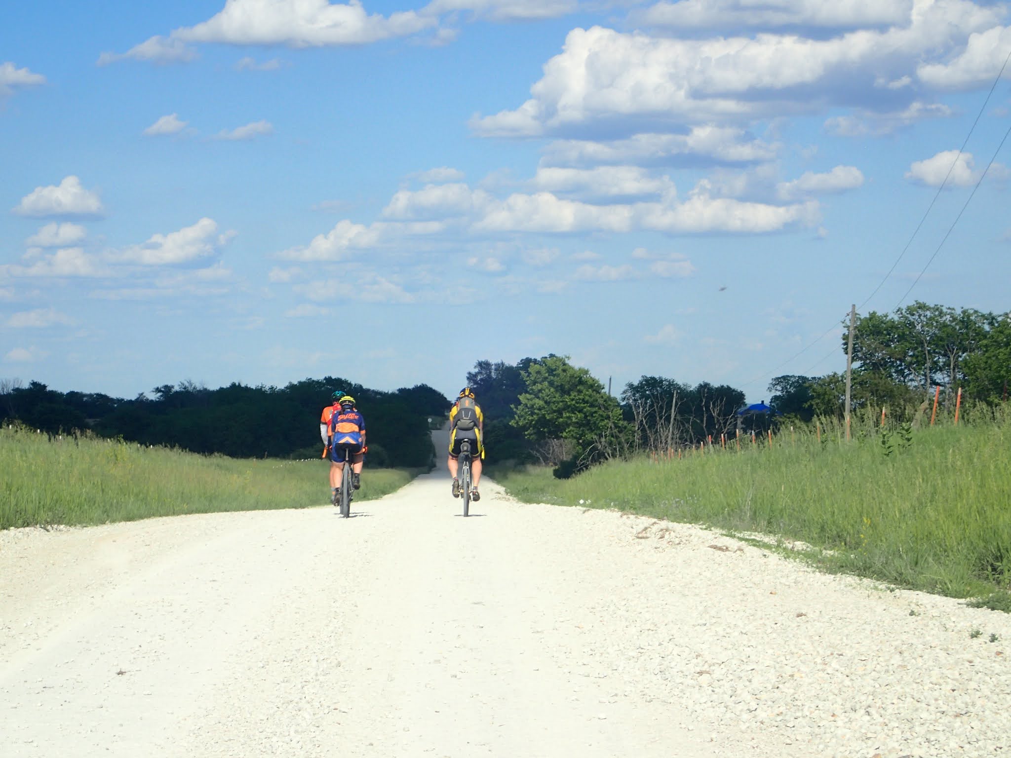
WOW riders are super strong.  I have to work really hard to keep up

We started riding on Friday at 6 a.m. from Goldstream Sports on Sheep Creek Road. We started with a big climb up Ester Dome, and I knew I was in trouble. I had not fully recovered from that hard WOW ride. My legs felt heavy and fatigued. To keep climbing, I had to use my granny gear, which I was planning to save until much later. Not a good sign, but I hoped somehow, I would get stronger. Yeah, I know, but slightly crazy thoughts like that kept me going. 

After slowly climbing Ester Dome, we followed several trails, including the Ester West Ridge and Fireplug trails, until we popped out onto the Old Nenana Highway not too far from Standard Creek Road. The trails were often steep and rutted, and Patrik got ahead of me on this part even though I was on my mountain bike, and he only had 40 mm tires on his gravel bike. I’m such a wimp on tricky downhills.


But Patrik waited for me, and we continued to Standard Creek and Cache Creek roads.  These are fun forestry roads with little traffic and in good shape. The two road systems are connected by a half-mile of swampy trail that we had to walk through. We got wet feet and were plagued by millions of mosquitoes. I stopped to reapply bug dope, but that didn’t seem to dissuade them much. Even for Fairbanks, they seemed worse than usual. Poor Patrik didn’t bring any bug dope and he was too far ahead to want to stop and wait for me. Nothing to do but keep moving and keep swatting. 

Crossing the mosquito plagued swamp 

Halfway through the swamp, at mile 33, my eTrex said I was at the end of my track. What?!  How could that be? We weren’t even a third of the way done. At home I had checked to see that the track was on my device, but I hadn’t zoomed in to see if it was all there.  (I later found out the track I loaded had too many points for my eTrex to put into one track. I’m not much of a techie.) Still, I figured this was a minor problem. I knew most of the route except a small portion. I’d figure that out when I got there. 

While we were biking towards Murphy Dome, Patrik got a text from his wife. She is pregnant with their third child, and she needed help at home. So, Patrik had to bail at 50 miles. We said our goodbyes, and as soon as he left, my motivation tanked. My legs were tired. My whole body felt fatigued. There was so much climbing ahead. I was moving slower than expected. I wasn’t even halfway done. I just wanted to lay down and take a nap. Except I couldn’t because the mosquitoes were so bad. 

As I was climbing to a high point, I was hitting a low point. Probably no one would think I was crazy if I quit. But not yet. I decided to finish Murphy Dome and then reconsider. At least the gravel and views were excellent.  

Made it to the top of Murphy Dome

At the top, a breeze kept the bugs down, so I took a break, ate some food, and thought about what I wanted to do. I could ride the route down to the bottom of Moose Mountain then head back to my car. I would have completed half the route -- 65 miles with 7,000 feet elevation gain -- a respectable ride. I could rest on Saturday and finish it up on Sunday. Now, that was a good (i.e., non-crazy) idea!  

But…

My friend Barb Creighton was thinking of meeting me at the bottom of Moose Mountain to ride part of the course with me. She hadn’t texted me, but she might show up. I decided I should ride with her if she showed. 

View off of Old Murphy Dome Road

And if I didn’t finish the whole route in one go, would I feel a need to try to do it again? But if I kept going, would I dig myself into an overtraining rut? I didn’t want to overdo it before the Trans South Dakota. And what about the section from Cleary Summit to Gilmore Trail? That was the one part I didn’t know. Could I navigate that without a GPX track? So many questions and decisions and doubts. At least pondering all those things helped pass the time as I made my way over the next 10 miles. Finally, I decided that if Barb showed up, I would bike a little longer but if she didn’t, I would bail. Just before I turned to start up Moose Mountain, I saw Barb on her bike! 

 Barb showed up, which convinced me to keep biking!

I explained my dilemma to Barb and said I would bike with her up the gravel road section and see how my legs felt. I warned her I would be very slow. Barb was fine with that. 

We stopped so that I could drink a Coke and fill up on water, which I had stashed that morning. The caffeine and carbs must have helped because my legs felt better, even if I wasn’t much faster. As we climbed, I decided to keep going and take it a section at a time. After a while, Barb turned back and I kept going to the top of Moose Mountain and over to Old Murphy Dome Road. The gravel road was good, and my energy was much better. Somewhat revived, I thought I might be able to finish. This ride wasn’t so crazy after all! But I was worried that I might not have enough water to finish. I called Eric, and he agreed to stash water along the course when he headed off to do some volunteer work.  

Heading from Moose Mountain back over to Old Murphy Dome Road

I made my way up to Pedro Dome on more four-wheeler trails, still doing fine. Then I bombed downhill and across to Cleary Summit. Decision time. Should I try to navigate this unknown-to-me section without a GPX to follow or just head down Steese Highway, where I could meet up with the course again? If I did the Steese, I wouldn’t do the whole course, but I wouldn’t get lost. What to do?

Pedro Dome

Starting on new to me trail that parallels the Ft. Knox Mine - those are tailings piled up on the side

I called Tyson. Why not go to the source? Tyson encouraged me to continue and said he would help. Tyson was very patient through several phone calls, helping me navigate several different turns. Even with his help I missed one turn, but after a while I figured it out. This section was also trying physically. Parts of it were extremely rough and rutted and other parts very wet and boggy.


I was so happy when I finally got to a lookout point that I recognized. I knew where I was! Then about two miles before Gilmore Trail road, I saw somebody running toward me. It was Eric! I had called him when I was unsure of my location. Returning from his volunteer gig, he decided to come out and meet me. I was really happy to see him and even happier when he said he had a cold Coke back at the car. That Coke tasted great! And I got to drink it in the car away from the bugs. What a morale booster! And I was done with the most difficult sections. I knew I could finish the last 25 miles! 

I was very happy to see Eric

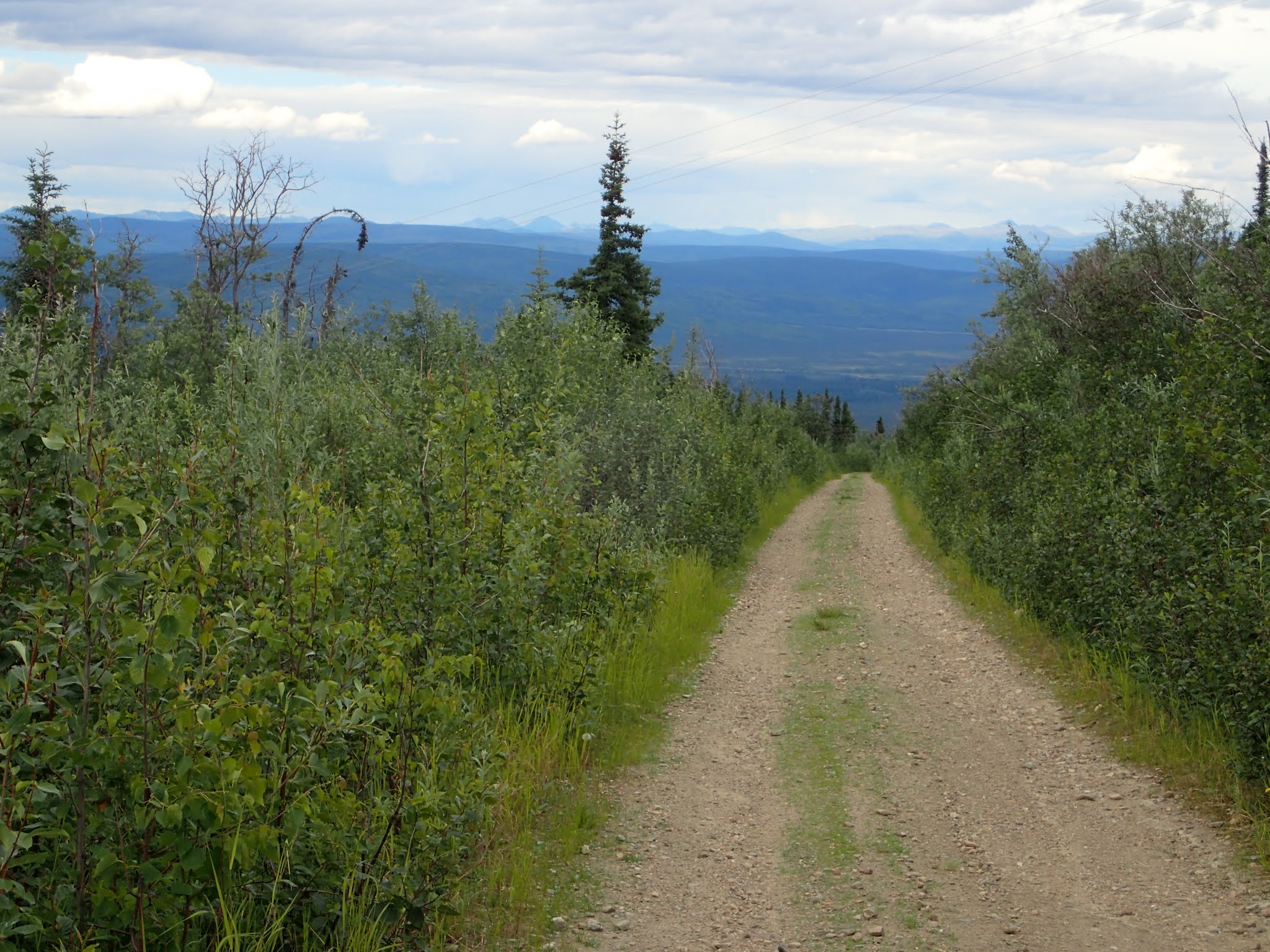
I followed several miles of road, then good trail in Skyline Ridge Park, and then subdivision roads over to the University of Alaska Fairbanks campus. Only from UAF to Ann’s Greenhouses left. Home free! 

Not!

Views from Skyline Ridge

I had to face-off with two moose at two different locations in the last five miles, the last one literally a half-mile from the finish. Really? The only two moose I saw during the whole day?! I just wanted to be finished. Luckily, they each finally sauntered off after a few minutes. 


I took 18.5 hours to complete the course, just about what I predicted. Distance: 125 miles. Elevation gain: more than 14,000 feet. This would make an awesome race but a tough one.

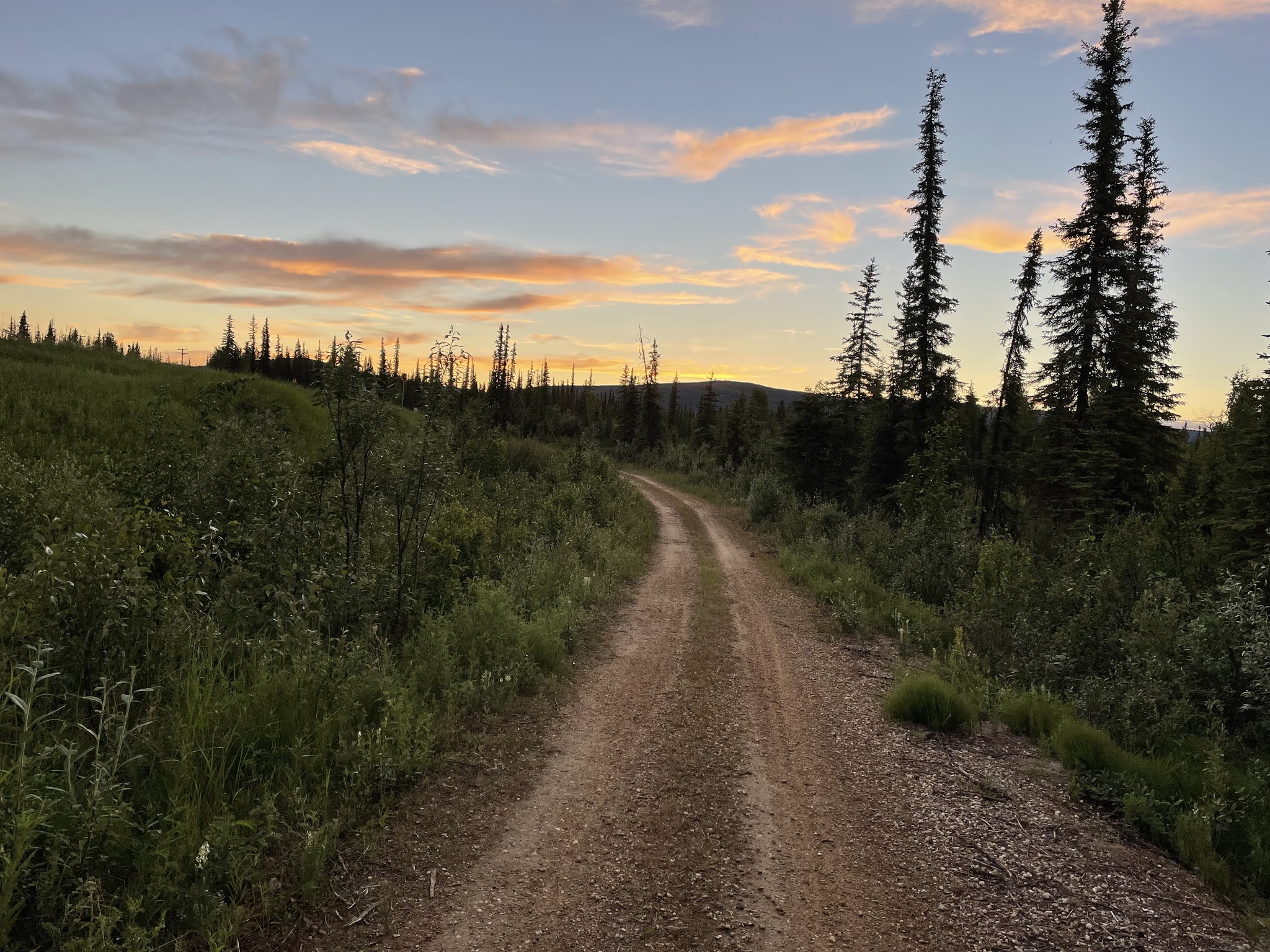
Sun was just setting as I finished at 12:30 AM

It really helped me to break the route down into sections and just concentrate on the one I was doing before reevaluating. And Barb showing up was also key to my success. Thanks, Barb!! Otherwise, I’m not sure I would have continued.

But I did. Now, I don’t have to do it again! After all, I’m only slightly crazy. 

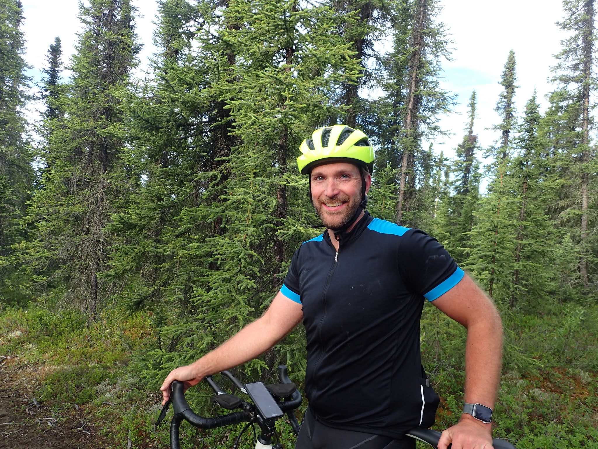
Selfie at the finish, back at my car


Friday, June 18, 2021

My Big Fat Stupid Hike


On my second summit of Chena Dome.

By Eric 

Really Good Bad Ideas cannot be denied. 

That was my mantra. I cheerfully repeated it early in my 80-mile hike. I said it with determination as the miles and hours wore on. I spit it out as a curse when I accidentally backtracked 2.5 miles after 36 hours of hiking. 

By then another phrase started dominating my thoughts: Stupid Optimism! 

Stupid Optimism, it seems, is necessary to tackle Really Good Bad Ideas. 

I got this Really Good Bad Idea years ago while participating in local trail-based ultra-endurance events, such as the White Mountains 100, Chena River to Ridge, and Drew’s Angel Creek 50. The last two, held mostly in the Chena River State Recreation Area, were probably where this idea started. 

While looking at maps – I’m a trail geek – I noticed that a person could make a huge loop of three trails in and adjacent to the rec area with only a bit of road to connect them: Far Mountain, Angel Rocks to Chena Hot Springs (ARCHS), and Chena Dome, with just 6 miles of Chena Hot Springs Road. It’s a mostly wilderness route with fairly easy logistics due to a couple of resupply/bail-out points.

The idea is elegant. Well, elegant to addled trail geeks. It’s also a tough route. The trails are often rocky and steep. Both Far Mountain and Chena Dome are just alpine routes for much of the way, requiring route-finding skills (though Chena Dome does have helpful cairns). I tossed the idea out to a few people hoping someone would take it on so I could hear about the adventure. 

The Far Mountain Trail starts by going straight up. 

Unfortunately, no one took me up on the idea. So, I forgot about it. At least, I tried to. Like an annoying itch, I couldn’t get rid of it. Even after I had decided to quit ultra-running events:  too hard on body, too much training required. But there was no way I was going to run that stupid route.

Then, earlier this year, I found myself casually throwing out the idea of hiking it to friend Ned Rozell, another trails and ultra-endurance geek. I waited for him to laugh at me. He thought for about 1.5 seconds. “Sure,” he said. 

Uh. Was I serious? I hadn’t been doing any training. But Ned’s response made that itch even more annoying. But my time was limited. Ned and I had a couple of emails, but our schedules didn’t sync. I had only one three-day weekend available: June 11-13.

Oh my God, I started making plans! Won’t somebody talk me out of this?! I was afraid to mention it to some people. I know some crazies who might want to go along, further cementing the idea. Optimism – Stupid Optimism – had me thinking I might be able to pull this off, but it was still a Really Good Bad Idea. Really Good for someone else to do. Bad for me. 

The view ahead of the Far Mountain route. 

I hoped for outside intervention. Surely, my wife, Corrine, would tell me I shouldn’t try since I hadn’t done any training. Nope. “Great!” she said. “Go for it!” (To be fair, my wife had just attempted a 350-mile gravel bike race in Kansas. She’s a little addled, too.) Miserable weather? Nope. The forecast – cool temps and scattered showers – was just about perfect. 

Suddenly, I was making a food and gear list and then I was shopping and then I was waking early Friday and then I was at Chena Hot Springs starting up the Far Mountain Trail. My Stupid Optimism kept reminding me of a few things: 1) I could bail out at a couple of points. 2) I’m just hiking, and 3) I can rest whenever I get tired.

I’m not a very thorough planner, especially doing solo trips. I blame that on my Stupid Optimism. If things don’t go quite as planned, I’m confident I’ll figure it out. Fortunately, I also have a heightened sense of responsibility. I bring lots of supplies, gear, and navigation aids so that I’m prepared if things go wrong. 

Happy guy at high point of the Angel Rocks to Chena Hot Springs Trail.

I had been on all the trails at least twice before. My rough guess was that this hike would be about 65 miles and would take 20-30 hours. The reality? The route is 75 miles and took me 49.5 hours. (To be fair, I did hike an extra 5 miles when I accidentally backtracked, but even without that mistake my estimates were way off.) I traveled slower than I figured I would, and I didn’t account for resting. I blame it on Stupid Optimism. 

The actual hike was pretty uneventful. I started telling myself that after finishing Far Mountain and ARCHS. I hadn’t gotten lost. No bears or mad mama moose. I got spritzed on a couple of times, but I didn’t even consider donning my rain jacket. The biggest “event” was when, after finishing Far Mountain, I grabbed a microwave burger and burrito, along with a Coke, at Chena Hot Springs Resort while charging my electronics. I had two electronic navigation devices as well as map and compass. 

Things were still going smoothly even after starting Chena Dome Trail – after hiking for about 24 hours – but I did get sleepy, so I pulled out my emergency bivvy bag and took an hour nap.

My first nap site.

I started struggling when I approached the Drew Harrington Trail Shelter on the Chena Dome Trail. I struggled even more when I realized I had misjudged where the shelter was by a few miles. (Stupid Optimism.) When I finally got to the shelter, I rested and napped another 20 minutes. Overall, the hike had been tiring but uneventful. I noted that several times. 

Tending to my feet at the Drew Harrington Trail Shelter.

Jinx! 

Apparently, my sleep-deprived brain thought things had been too uneventful. That same brain got me turned around atop Chena Dome, the high point of the trail. I mistakenly remembered that the trail bypassed the very top of the dome with a short dogleg to the summit. I summited, happy, then backtracked to the last cairn and surveyed everything before me. I looked at where I had been and where I needed to go and started following the cairns. All was good. 


After about a half-mile I passed mile marker “11.” 

“That’s wrong,” I thought as I passed it. “That should read 10. The trail crews screwed up.”

(I was following the trail backward from the direction normally taken.)

I kept trudging along until I passed the next one marked “12.” I got annoyed. 

“Did they mark new mileages from the summit? No, that’s wrong I haven’t gone that far from the summit. Did they just re-use old markers? That’s bad. That’s going to get hikers all screwed up!”

I’ve read about this phenomenon before. People are convinced they are right, so they shape reality to fit their version of the truth. It happens in all sorts of situations, including out on the trail. It’s even happened to me a couple of times before on hikes, but I’ve always been able to correct myself quickly. This time I kept going. Nothing I saw along the way rang any bells of recognition. I’ll blame sleep deprivation. 

The next mile marker said “13.” And I noticed I hadn’t seen the old plane wreck, which is at about Mile 8.5. I finally turned around and looked back. There was Chena Dome, looking exactly the same as it had a couple of hours before. 

I said something I’m not going to repeat here. I said it loudly. Really loudly. 

Unhappy camper.

Then things got stranger. I didn’t want to turn back. I wanted to keep going the way I had been. I had momentum. Fortunately, I wasn’t that sleep deprived. I did the math. The trail is 29 miles long. I was at Mile 13. I could continue the way I had originally come for 16 miles or turn around and go 13 miles. And the 13 miles would be much, much easier terrain. (Or so I remembered. Ha! Stupid Optimism.) 

The fact that I wouldn’t complete my goal by continuing back the way I had come barely registered. I guess I was so tired I just didn’t care that much. It’s a good thing I didn’t have a bail-out point nearby. 

With some effort I turned myself around and headed back toward Chena Dome, recrossing my path for another hour or so. At first, I was angry. So angry that I actually found energy and sped up! Eventually, my sense of humor rose up and I had to laugh at myself. 

I summitted Chena Dome for the second time and saw that the trail continues across the top and down the other side. I followed the cairns carefully, paying close attention to the trail markers. I was delighted when the next one read “10.” 

I passed the old plane wreck, tired but in a good mood. I remembered that everything past that stayed high. No more steep saddles to hike down and then back up. Stupid optimistic memory. That part of the trail has a couple of deep, steep saddles and some other ups and downs. 

Where the hell did that come from!?

Eventually, I started fading again and took one more 40-minute bivvy nap. Finally, I got to where the trail headed down off the ridges. The downhill steps were still painful, but I was relieved I would not be dealing with any more saddles. When the trail became less steep, I knew I was almost done. But that part of the trail goes on for much farther than I had remembered. Stupid optimistic memory.

Finally! The last descent! 

I finally made the trailhead. Just before I got there I glanced down the Winter Trail, which parallels a portion of Chena Hot Springs Road. I had thought earlier about trying to navigate that boggy route to make my route more “trail pure.” Ha! Forget it! Besides I would have had to cross the West Fork of the Chena River. Nope. 

Winter Trail. Looks nice, but there's bog down there! 

I stopped briefly at the trailhead to tend to my feet. Only a few blisters, but oh so sore. Then I headed out for 6 miles of road walking. There are few things I hate more than walking on pavement. I convinced myself to alternate walking and running every five minutes. You wouldn’t have recognized it as running, but at least I was using some different muscles. 

I was tempted to hitch, but only six cars were headed for the resort when I was on the road, and four of those came by when I was within 1.5 miles of the end. No way I was going to quit that close to closing the loop. 

I got to my car about 10 a.m., 49.5 hours after I had started. A little over my slightly optimistic 20 to 30 hours. But I had made it! 

I’m glad I did it, though I’m still a bit mystified WHY I even tried. Maybe I felt a need to test myself. But I never would have attempted it had I known how long it was really going to take me. I guess it’s good to have some Stupid Optimism if you want to undertake a Really Good Bad Idea. 

Selfie at the finish.

GPS track of my Big Fat Stupid Hike.


Here are a few more photos from the hike:

Lupine on the Far Mountain Trail

Wind-scoured tors on the Far Mountain route.

Caribou antlers and flowers on the Far Mountain route.

Awesome double rainbow while finishing the Far Mountain route.

Alpenglow on the Chena Dome Trail.

Plane wreck on the Chena Dome Trail. 

Night on the Chena Dome Trail.


Monday, June 7, 2021

No Guts, No Glory on the Unbound Gravel XL 350


Well, some days you have it and some days you don’t.  I went back to Emporia, Kansas, to try the 350XL, but I ended up scratching.  My gut tends to be my weak point in endurance events, and this time was no different.  I’ve researched this ad nauseam (pun intended!).  More fluids, more electrolytes, more real food, eating earlier and on a schedule, drinking my calories. You name it, I’ve tried it.  Usually, I can manage the issue and gut it out (again pun intended!) and get enough nutrition in to continue even if I feel nauseated, but sometimes I just have to rest to recover.  And during multi-day bikepacking races it always takes a couple of days for my appetite to return to normal.  


I felt as good as I could going into the XL350.  Of course, I wished I had more miles on the bike, but I had enough, and I tapered for 3 weeks to be sure my legs were fresh for the race.  The weather forecast looked to be pretty good for Kansas in early June.  Warm and breezy, but not as hot or windy as it can be, and no rain, thunderstorms, or tornados in the forecast.  

My flights were all on time and my son Riley picked me up in Kansas City late Wednesday night.  We stayed overnight then drove the next morning to Emporia. We met up with Kirsten, who Riley had agreed to “crew” for.  It’s an unsupported race, but you need somebody who can extricate you from the race if you can’t finish. Several racers needed a crew person, so Riley offered to help another person besides me. I love meeting the other people who like to do these endurance events.  I’ve made some long-lasting friendships this way.  Endurance bikers are good people – even if we are a bit crazy by normal standards. It was fun to meet Kirsten as we got our bibs and had lunch.  

Lunch with Kirsten

I got a good night’s sleep before race day. The race didn’t start until 3 PM which meant I had plenty of time Friday morning to get nervous while waiting. I’ve done plenty of long-distance races.  I’m not trying to beat anybody. My only goal is to finish.  But anytime I line up for any sort of race, I get a bit nervous.  And soon as I start, I’m totally fine.  Such was the case this time, too. The streets were lined with fans cheering us on as we rolled out of town.  I thought this is what it feels like to be a rock star!


The first 40 miles were fast and fun, averaging about 14.5 mph.  I had to keep up a 10 mph pace to finish in the allotted time of 36 hours.  I knew that I would need to stop more and that I would get slower as time went on, so I needed that buffer. We had a tail wind, the gravel was good, with some fun double track areas, and I was riding with a lot of different people, getting a chance to meet and chat with them.  It was pretty hot out there –mid 80’s – but I was good about hydrating.  I also did well with my nutrition, taking in about 200 cal/hour (which is a lot for me).

We came to the first resupply at 40 miles.  Plenty of racers were already there and the small store was packed.  I decided I didn’t need any food (I probably was carrying enough for the entire race), so I just refilled my water bladder and took off.  The next resupply place wouldn’t be until mile 118. 

The miles until sunset went quickly and thankfully the temperature cooled off, maybe down to 65 degrees. The course started turning off onto very rough B roads.  Many were rocky and rutted.  They would be hard to navigate during the day but were even worse after dark.  I was very glad to have my mountain bike.  I just wished I had a brighter light.  I thought about using the high beam on my helmet light but that only lasts a couple of hours.  I needed it for 8-9 hours.  I did have a light on my handlebars, so I turned that on for the downhills.   I would breathe a sigh of relief as we exited a B road onto better gravel but within minutes we would turn down another B road.  I started dreading the signs that said, “Minimal Maintenance, Drive at Your Own Risk”.  Afterwards, someone said there were 30 or so miles of these rough roads that many of us had to ride in the dark.  I thought I would spend the night listening to podcasts or a book or music.  But I had to really concentrate on the road surface and felt like I couldn’t be distracted.  I never got sleepy since I really had to pay attention.  Suffice it to say that my pace really slowed down.  

Kansas sunset

Around 11 PM I started feeling slightly nauseated and had no desire to eat.  I had burritos, homemade rice cakes, Stroop waffles, candy, donuts, crackers, shock blocks and GU’s.  Nothing sounded good.   I ate a couple of crackers, but it was hard getting them to go down. I knew I would be getting to the convenience store in Alma soon and thought a coke might help as it usually does.  With the slow going I rolled in about 2 AM.  Several bikers were there, resting and regrouping.  Some had already decided to scratch.  I scoured the store looking for anything that sounded appetizing.  Nope, nothing looked good.  I spent about 30 minutes drinking a coke and an iced tea, trying to get down some salty Cheetos, and commiserating with the other riders.  I called Riley and woke him up to tell him I thought I might need to scratch and asked if he wanted to just pick me up there in Alma.  He wisely told me I should try to go a little further and see what happened.  He thought I should at least just bike through the night.  Maybe I would recover? Or maybe he just didn’t want to get out of bed at 2 AM and drive.  

Middle of the night at Alma - photo by Jim Farmer

Whatever, I kept going and the gravel conditions did improve.  Riding at night was really cool.  In Alaska, it’s never dark and warm (since it doesn’t get dark in the summer) so that was novel. I could hear frogs and insects.  I heard an owl hoot.  A bat almost flew into me and scared me.  When I turned off my lights, I could see the Milky Way.  And I got to see fireflies which I haven’t seen since I was a kid living in Michigan. And riding all night meant I got to see the sunrise.  It was beautiful.  Most of the night, I had riders around me as we leapfrogged with one another so I never really felt all alone.  It wasn’t until near dawn that I was finally riding by myself.

Kansas sunrise
I took a Zantac and a Zofran (anti-nausea medication) but my stomach never recovered. I took a quick break at around 7 AM and called Riley to let him know I was definitely going to scratch but would try to make it to Alta Vista (mile 188 of the course), which was still almost 40 miles away. I was only able to get down 2 cheese crackers and 2 mini donuts and some sweet iced tea during 10 hours of riding.

Hot and tired and nauseated.  Ready to concede I wasn't going to make it

I continued south into a 15-mph headwind with temperatures rising with the sun.  I passed a turtle and then a skunk that was wandering all over the road.  Even if I didn’t feel great, I was still happy to be riding my bike. The Kansas countryside is quite pretty with varying terrain.  

No turtles in Alaska so fun to see one

I was still 17 miles away from Alta Vista when Riley texted me that he was there.  I had just stopped to slowly eat a Stroop waffle. Unfortunately, I gagged which then led to me vomiting.  After a couple minutes of dry heaving, which caused my abdominal muscles to cramp (adding insult to injury), I got back on my bike and started riding again. 

After vomiting, I felt slightly better.  I was still in good spirits as I arrived at Little Egypt, a really rutted, rocky steep down-and-up part of the course.  There were people out waiting for the 200 mile racers.  This is considered to be the gnarliest part of the route, but I don’t know, it didn’t seem that bad compared to what I had ridden in the dark. I was able to cleanly ride it except for a small section when an ATV drove by.  Once again, glad to have a mountain bike!  I passed another XL racer here who was walking and said he was done.  After Little Egypt there was another steep down-and-up with a water crossing.  There were some media guys waiting for the 200 mile racers and I teased them for not getting video of my awesome water crossing and my cranking all the way up the rocky hill right after it.  They laughed and then did a video sound bite with me. That was fun. The media guys said the lead 200 mile racers would be by fairly soon.


Happy I was able to ride up Little Egypt

It seemed like it was all uphill to Alta Vista and it was definitely into a headwind that seemed to be getting stronger.  I kept looking over my shoulder as I didn’t want to be in the way of the fast racers as they flew past me, but I managed to finish before they came through. I thought about riding another 12 miles past Alta Vista to make it an even 200 miles for the day but decided I was done.  It took me so long to do the last 17 miles that Riley had time to rescue another 350XL rider and take her back to Emporia while I was still riding. Riley and I got to watch the lead groups of the 200 mile racers come through after I finished.  It was fun to see them. 

Thumbs up that I made it to Alta Vista


Lead pack for the 200 mile racers 

I still didn’t feel like eating, but ice cream sounded good so we stopped at a Dairy Queen to get a soft serve cone, which helped my stomach.  By the time we got back to our hotel 1.5 hours later and I had a shower I felt much better and was hungry.  Kirsten called and was scratching so we grabbed a burger and fries and drove all the way back to pick her up. By the time we got home again, I was ready for dinner number 2!  I was glad my gut recovered so quickly.

Our hero, Riley, who drove to pick up Laura, Kirsten and me when we scratched!

I ended up biking 188 miles in 20.5 hours with 11,234 feet elevation gain.   When I did the DK 200, I rode 200 miles in 19 hours so it was definitely slower going this year.  I was happy that I had no melt downs and stayed mostly upbeat the entire time, even with my stomach issues and the heat and the headwinds. 

Am I sorry I scratched?  Yes and no. I would have liked to complete the race but there really wasn’t any way I could have ridden another 170 miles on no nutrition into a headwind in hot temperatures.  And I was glad I didn’t have to stay up for 2 nights.  I got a good night’s sleep and felt recovered enough Sunday to go for a 20 mile fun bike ride with Riley.  So, no regrets.  And I did feel better that more than half the racers scratched this year.  According to some return riders it was a much harder course than other years.


Will I be back?  I don’t think so.  There are so many other places to see and races to try. And I’m wondering if my ability to suffer is lessening as I’m aging!  But I’m glad I tried the 350XL.  It’s good to push your boundaries.  And the Unbound Gravel race is so much fun.  Riding bikes on Kansas gravel is well worth the trip.